8 Incredible Backpacking Alternatives to the John Muir Trail
8 Epic Must-See Sierra Hikes
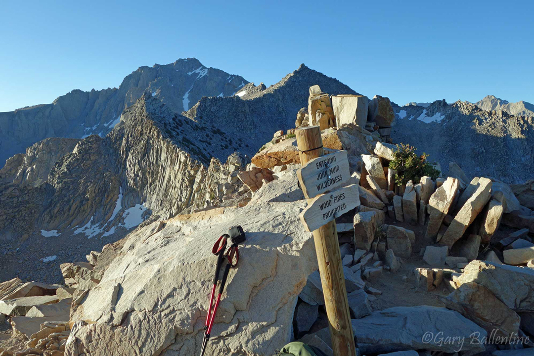
Didn’t get a permit, or maybe you just want to try something different? The Sierra Nevada is the largest contiguous mountain range in the United States, and the backpacking opportunities here are truly endless. You could spend a lifetime exploring the Sierra and still never see all of it. At the very least, you should take a gander at these 8 incredible hikes, some of which give the JMT a run for its money.
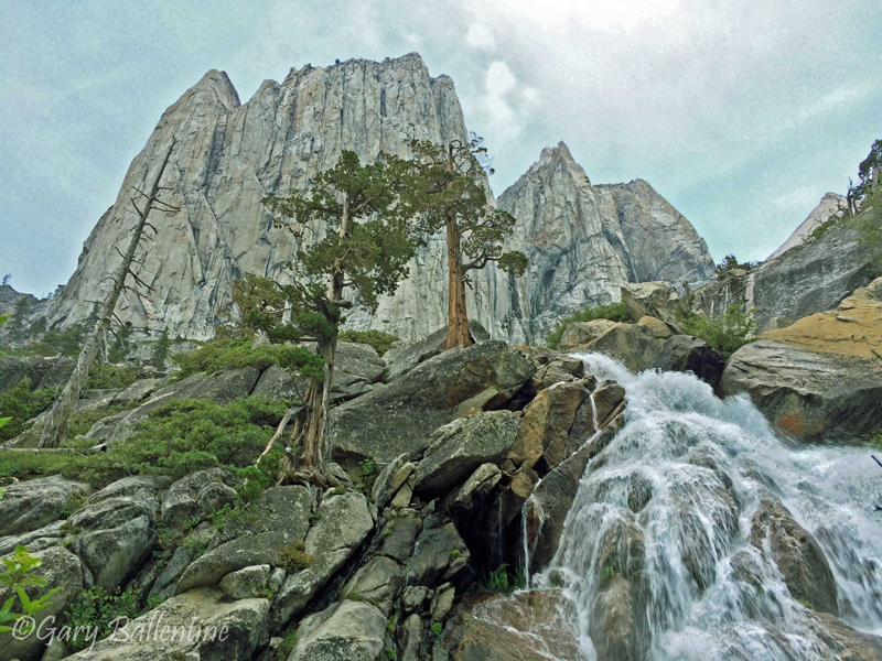
Big SEKI Loop
Location Sequoia/Kings Canyon National Park
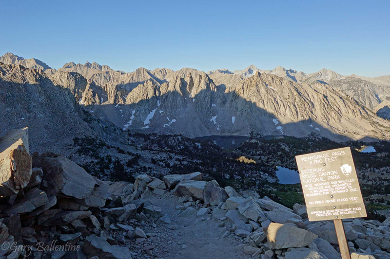
Trailheads Road’s End or Onion Valley
Length 131-155 Miles
Duration 9-13 days (average)
Difficulty Difficult
Season July through September (average), conditions permitting
Elevation 5,050 to 13,180 feet
Total Passes 7
Foot Traffic Light
Recommended Maps Sequoia & Kings Canyon
The Big SEKI Loop can be accessed from either side of the Sierra and is among the biggest loops in Sequoia and Kings Canyon National Parks. It’s the most comparable alternative to the John Muir Trail due to its similar length and impressive scenery, which rivals much of the JMT. Permits should be reserved ahead of time, but are not nearly as difficult to get as JMT permits. Logistics are simpler as well, with no shuttling necessary, and the shorter version of the loop capable of being hiked in as little as 9 days.
The loop itself can be hiked either clockwise or counter-clockwise, with clockwise being the most common. Several intersecting trails are taken and most junctions are clearly marked, but carrying a good map and knowing how to use it is vital. Some sections of trail are infrequently traveled and it’s likely you will go several days without seeing another person.
If you had your heart set on hiking the John Muir Trail but it’s not going to happen, or you already hiked it and want to explore somewhere new, then then Big SEKI Loop is for you. Check out this guide for more information.
Tahoe Rim Trail
Location Lake Tahoe, CA
Trailheads Several, Tahoe City most common
Length 165 Miles
Duration 10-15 days (average)
Difficulty Moderate
Season July through September (average), conditions permitting
Elevation 6,224 to 10,338 feet
Total Passes 5
Foot Traffic Moderate
Recommended Maps Tahoe Rim Trail
The Tahoe Rim Trail circles Lake Tahoe and provides incredible views while weaving in and out of the impressive granite alpine peaks of the Northern Sierra. It traverses Desolation Wilderness on the western flank, arguably one of the most beautiful wilderness areas in the entire Sierra, and completes its loop over Echo Pass and Relay Peak.
The trail crosses several roads and intersects over 10 trailheads, making it highly accessible while providing several opportunities to resupply or bail if an injury happens. Section hikes are also highly feasible, as are rest days at many of the nearby resorts.
If you want a big loop with incredible scenery but isn’t quite as intense or committing as the John Muir Trail, then the Tahoe Rim Trail is for you.
Circle of Solitude
Location Sequoia/Kings Canyon National Park
Trailheads Road’s End or Onion Valley
Length 78 Miles
Duration 5-7 days (average)
Difficulty Moderate-Difficult
Season July through September (average), conditions permitting
Elevation 6,500 to 13,100 feet
Total Passes 2-3
Foot Traffic Light-Moderate
Recommended Maps Sequoia & Kings Canyon
Once a well-kept secret of the rangers at Kings Canyon and Sequoia National Parks, the Circle of Solitude is a short but heavy-hitting loop of high alpine scenery, meadows, crystal clear lakes, and roaring rivers. Its scenery is impressive, the terrain steep and variable, and the logistics simple. No resupply or shuttling are needed for this loop, and it can easily be completed in less than a week.
If you want something shorter and simpler than the John Muir Trail but just as pretty, then hike the Circle of Solitude this summer. As the name would suggest, sections of this loop are infrequently traveled and will give you time to reflect in solitude. You can read more about it here (coming soon).
High Sierra Trail
Location Sequoia/Kings Canyon National Park
Trailheads Crescent Meadow to Whitney Portal
Length 75 Miles
Duration 5-7 days (average)
Difficulty Moderate-Difficult
Season July through September (average), conditions permitting
Elevation 6,500 to 14,505 feet
Total Passes 2
Foot Traffic Moderate-Heavy
Recommended Maps Sequoia & Kings Canyon
Nearly as famous as the John Muir Trail but not nearly as long, the High Sierra Trail passes through some of the most intense mountain scenery of the entire Sierra Nevada. It doesn’t go over as many passes, but the terrain it does go through is absolutely stunning—and it lets you summit Mt. Whitney and exit at Whitney Portal without needing to apply for a Whitney permit.
There is never a dull moment on the High Sierra Trail and the terrain changes constantly. Logistics can be a bit of an issue as the trail traverses from west to east, requiring a shuttle or two cars, but is short enough to backtrack should you want to extend the hike simplifying transport.
The High Sierra Trail is a must-see for any serious backpacker. Even if you only get to hike one trail other than the John Muir Trail in your life, make it this one. It’s like the best of the JMT in under a week. Check out this guide to learn more.
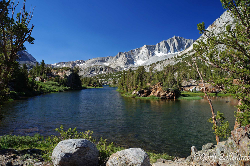
North Lake-South Lake Loop
Location John Muir Wilderness, CA
Trailheads North Lake to South Lake
Length 55 Miles
Duration 5-6 days (average)
Difficulty Difficult
Season July through September (average), conditions permitting
Elevation 8,104 to 12,130 feet
Total Passes 3
Foot Traffic Moderate
Recommended Maps Bishop Pass Trail Map
The North Lake-South Lake Loop is a High Sierra Classic that is easily accessed from the eastern side with either 1 or 2 cars. It technically is not a loop, but just barely, and you could easily hike from one trailhead to the other in half a day (or hitch a ride, which is easy enough to do there). At 55 miles, it’s feasible for most people to complete the trail in under a week without needing a resupply.
This loop traverses nothing but the best the High Sierra has to offer—even the starting trailheads are well-deserved camping destinations in their own right. Plus, about half of this trail actually overlaps the John Muir Trail, arguably making it a section hike.
If you want to hike a tried and true classic that overlaps the JMT and goes over the famous Muir Pass, then hike the North Lake to South Lake Loop. You won’t be disappointed.
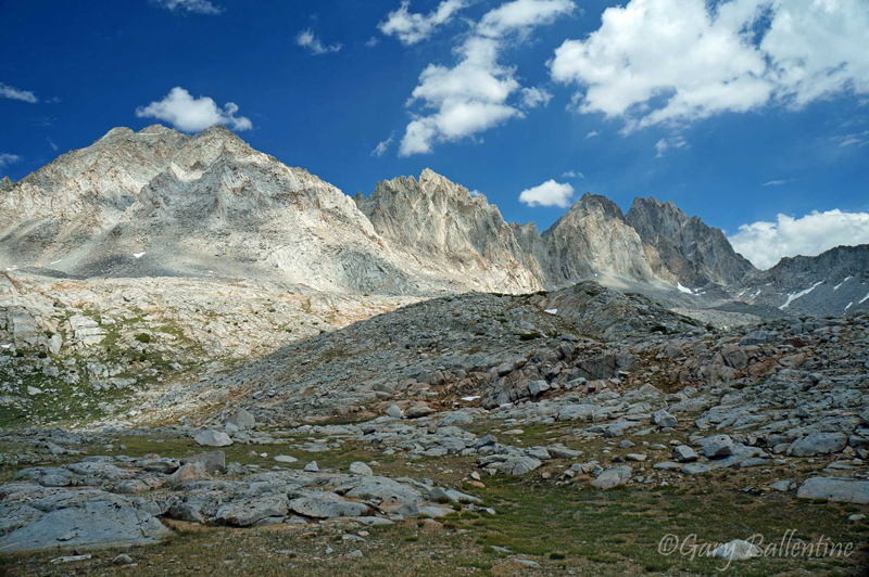
Sierra High Route
Location Sequoia/Kings Canyon National Park
Trailheads Road’s End or Onion Valley
Length 195 Miles
Duration 15-25 days (skill dependent)
Difficulty Very Difficult, technical
Season July through September (average), conditions permitting
Elevation 5,050 to 12,130 feet
Total Passes 30+
Foot Traffic Light
Recommended Maps Sierra High Route, several needed
The Sierra High Route runs parallel to most of the John Muir Trail, but isn’t actually a trail. It’s a route, covering over 100 miles completely off-trail. It requires advanced route-finding skills and excellent map-reading and orienteering abilities as there are no signs or markers, but rewards its brave adventurers with a big-mountain experience that is hard to find anywhere outside of Alaska.
The Sierra High Route is for advanced backpackers only with extensive off-trail experience, but is absolutely worth checking out if you have the skills. This is arguably the holy grail of backpacking, and it’s mind-blowing to experience just how massive and wide-open the High Sierra really is. If you thought the JMT had big mountains, just wait. Your life will be forever changed.
Theodore Solomon’s Trail
Location: Yosemite to Golden Trout Wilderness, CA
Trailheads: Glacier Point to Cottonwood Pass
Length: 270 Miles
Duration: 18-23 days (average)
Difficulty: Difficult, hard to follow at times
Season: July through September (average), conditions permitting
Elevation: 4,200 to 12,126 feet
Total Passes: Variable
Foot Traffic: Very Light
Recommended Maps: Several Needed, electronic version
The Theodore Solomon Trail is a long, infrequently traveled point to point route that parallels the John Muir Trail but on the western flank of the Sierra. This places it at lower elevations in areas that are subject to higher temperatures while also being more heavily forested. The route itself is almost entirely on trail, but the exact route is debated, hence why I’m calling it a route and not necessarily a trail.
This can be traveled earlier in the season than the John Muir Trail, but not by more than a month or so. It is a route for the true explorer who wants to get off the beaten path and possibly even get lost a few times along the way. It is not as technical as the Sierra High Route, but it does involve travelling down and connecting infrequently traveled trails that are subject to dense brush, undergrowth, and more wildlife including many rattlesnakes.
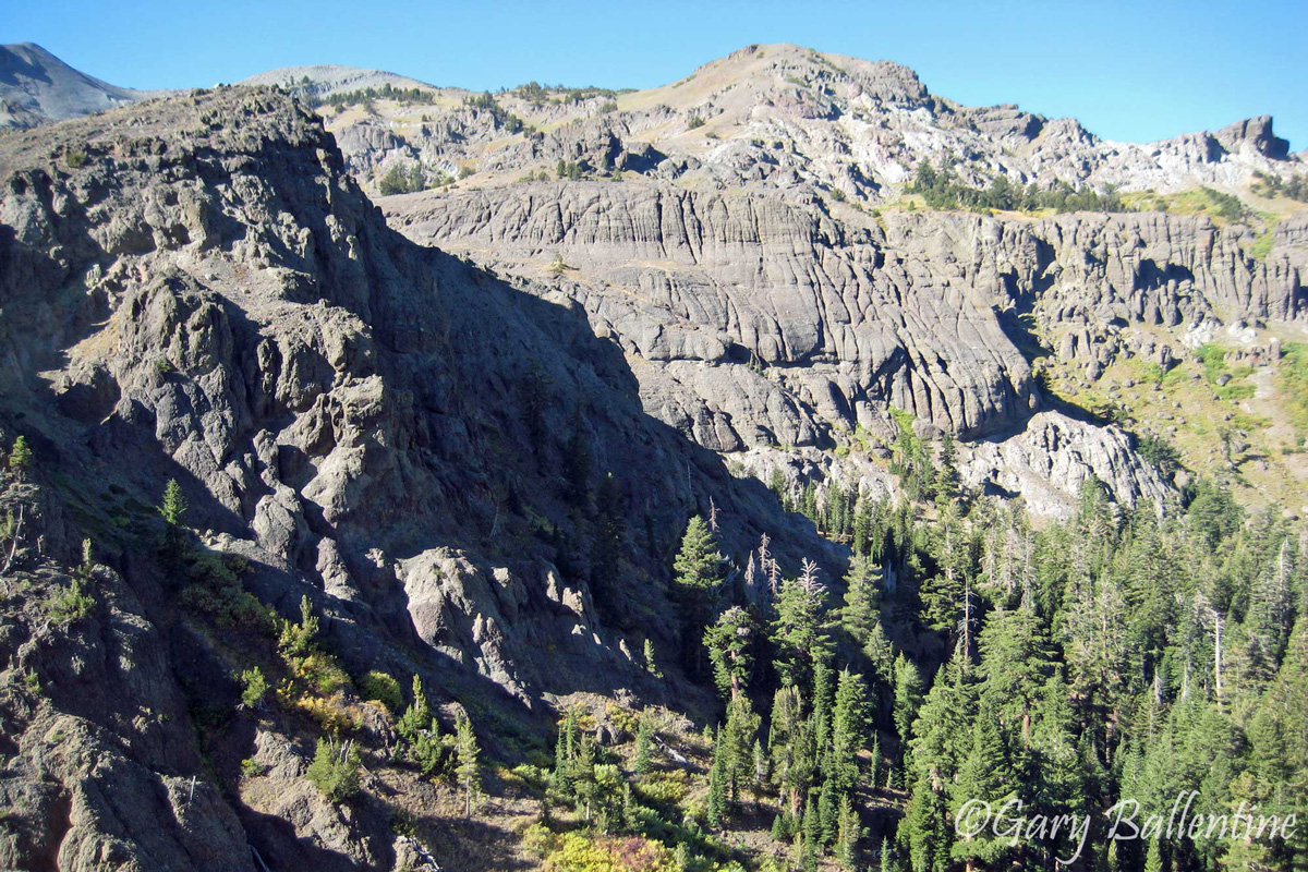
Tahoe to Yosemite Trail
Location: Lake Tahoe to Yosemite, CA
Trailheads: Meeks Bay to Tuolumne Meadows
Length: 185 Miles
Duration: 12-16 days (average)
Difficulty: Moderate-Difficult
Season: July through September (average), conditions permitting
Elevation: 6,225 to 11,570 feet
Foot Traffic: Very Light
Recommended Maps: Several Needed
The Tahoe to Yosemite Trail technically has two routes, the less-traveled Winnette Route, and the PCT Route. The PCT Route is essentially a section hike of the Pacific Crest Trail from Lake Tahoe to Yosemite and stays high in elevation, straddling the main Sierra Crest and frequently landing on both the eastern western sides. Much of the terrain here is volcanic with dark red and brown mountains.
The Winnette Route overlaps 90 miles of the PCT Route, but otherwise stays further west and lower in elevation. It is a much-less traveled route and is for the die-hard explorer, much like the Theodore Solomon Trail. You will find unmatched solitude on this section of trail as it winds through the beautiful granite scenery that the Sierra is known for.
The Winnette Route is a fantastic alternative to the Theodore Salomon Trail for those who are feeling brave but not that brave. The PCT Route is a wonderful hike for those who don’t have route-finding skills but still want to experience solitude and adventure through a lesser-traveled section of the Northern Sierra.

Hi! I’m Gary. I’m the mountain-enthusiast and gearhead behind Granite Cliffs. My goal is to provide the inspiration and information you need to go outside and explore. This is my Adventure Portal.